Newsroom


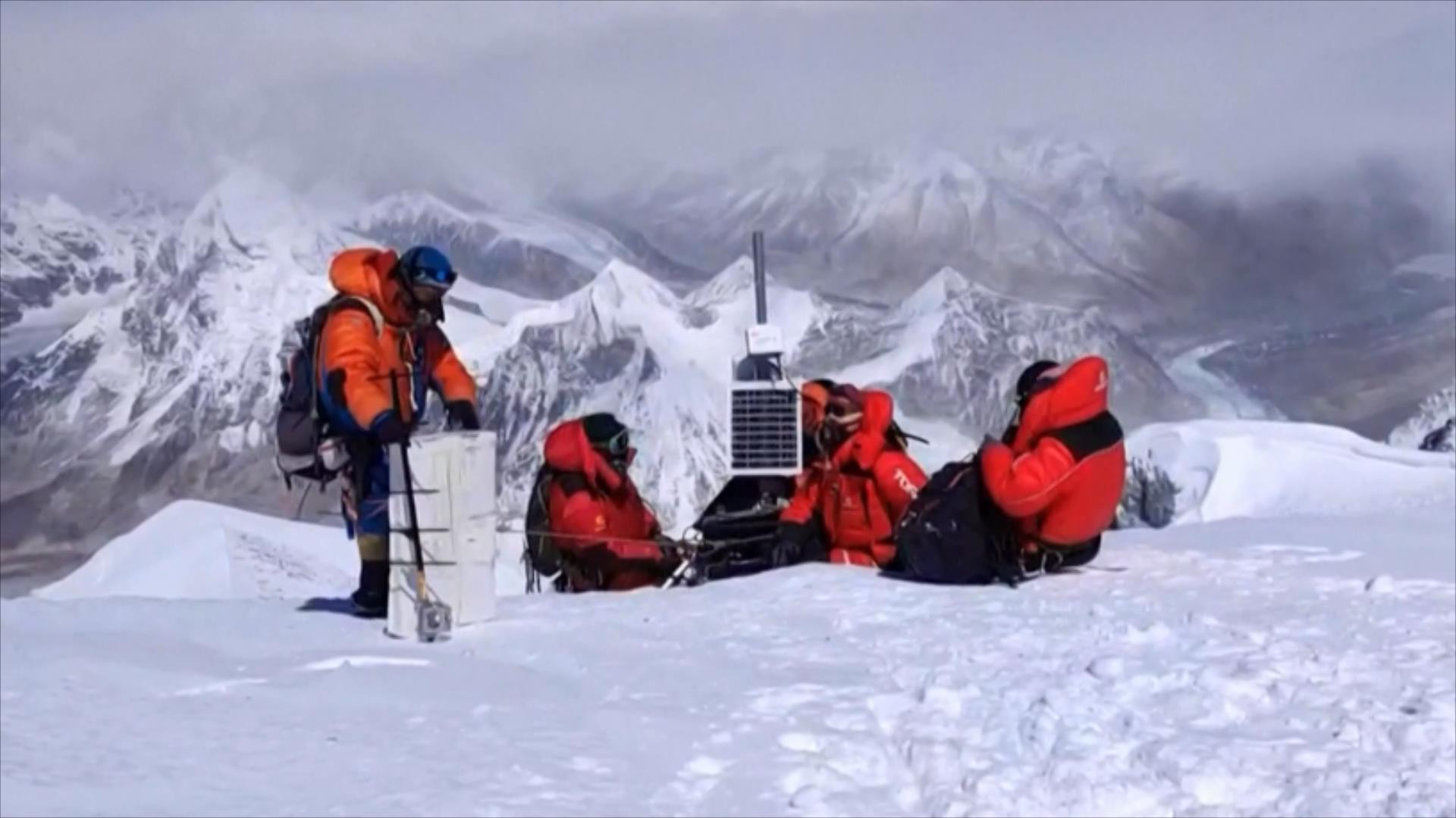
Glaciers on the Tibetan Plateau are important "indicators" of global climate change and have a significant impact on global sea level rise, regional water resources and ecological environment, and glacial disasters. However, due to the high cold climate and high altitude topographical conditions, there has been a lack of glacial field observations in the region for a long time, especially the glaciers located in the inland uninhabited areas of the plateau. The temporal and spatial variation characteristics and climate response laws are not very clear.
In recent years, space geodesy technologies such as satellite altimetry and radar interferometry (InSAR) have developed rapidly and have been gradually applied to the global mountain glacier mass change monitoring research, but mainly based on the average estimation results of many years or chronological scales. It is difficult to quantitatively describe the interannual variation process and trend of glacier mass balance.
Researcher JIANG Liming from Institute of Geodesy and Geophysics of the Chinese Academy of Sciences(IGG,CAS), proposed a new method for multi-baseline bistatic InSAR to estimate the mass balance of glaciers.
The interannual variation of the mass balance of the largest modernity glacier (Puruogangri ice field) was first detected using the 2011-2016 multiple-stage TanDEM-X satellite data.
This method can obtain high-precision, high-resolution glacier elevation changes using only satellite observations, and thus accurately estimate the annual ice volume change of the glacier.
The study verifies the feasibility of using satellite InSAR technology to regularly monitor the annual variation of glacier mass balance on the Tibetan Plateau, and provides a new idea for the study of global mountain glacier changes.
The results reveals that the ice surface elevation of the Puruogangri ice field in 2011-2012 is slightly thicker, and the average ice surface elevation of the ice field in 2012-2016 is yearly thinning and strong ablation, and have the trend of continuous loss of ice.
Combined with the weather stations measured data, the recent acceleration of the mass loss of the ice sheet was mainly attributed to the rapid decrease in annual precipitation. Therefore, the inland glacial changes in the Tibetan Plateau should be paid attention to.
It is necessary to further strengthen the continuous regular monitoring of the glacier mass balance in the region and the in-depth analysis of its changing mechanism.

Puruogangri ice field elevation variation from 2011 to 2016. (a) 2011-2012, (b) 2012-2013, (c) 2013-2014, (d) 2014-2016 (Image by IGG)