
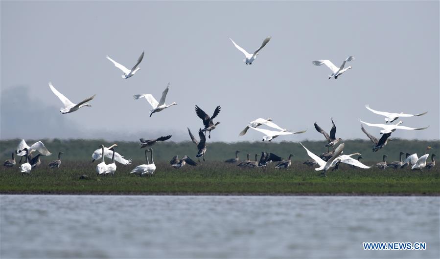
Global wetland ecosystems face degradation due to climate change and human activities. The researchers from the Chinese Academy of Sciences hoped to figure out the spatially explicit information of wetlands.
They conducted field investigations around the country and built a database with remote sensing big data and mass wetland samples. They also developed an efficient classification approach and a new wetland classification system for remote sensing.
Based on these efforts, the researchers generated a wetland map of China with an overall classification accuracy of 95.1 percent, said the paper.
The national scale wetland map revealed that China’s wetland area in 2015 was estimated to be 451,000 square kilometers, of which 70.5 percent was accounted for by inland wetlands.
Of 14 sub-categories of the country's wetlands, inland marsh had the largest area of 152,000 square kilometers. Geospatial variations in wetland areas at multiple scales indicated that China’s wetlands mostly present in the country’s Tibet Autonomous Region, Qinghai Province, Inner Mongolia Autonomous Region, Heilongjiang Province, and Xinjiang Uygur Autonomous Region.
The map is expected to support China’s wetland ecosystem conservation and precision management, as well as provide a new baseline data for wetland research. (Xinhua)
The scientific researchers from the Chinese Academy of Sciences (CAS) were praised as the doctors of Dongting Lake wetland.
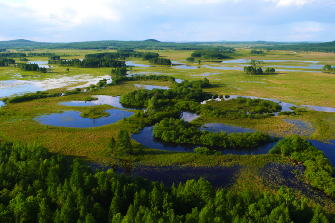
A research team led by Prof. WANG Zongming from the Northeast Institute of Geography and Agroecology has revealed a dataset of long-term dynamics of floodplain wetlands over the China side of the Amur River Basin.

86-10-68597521 (day)
86-10-68597289 (night)

86-10-68511095 (day)
86-10-68512458 (night)

cas_en@cas.cn

52 Sanlihe Rd., Xicheng District,
Beijing, China (100864)
Copyright © 2002 - Chinese Academy of Sciences


